ID: 75742258
Atnaujintas prieš 1 d.
4
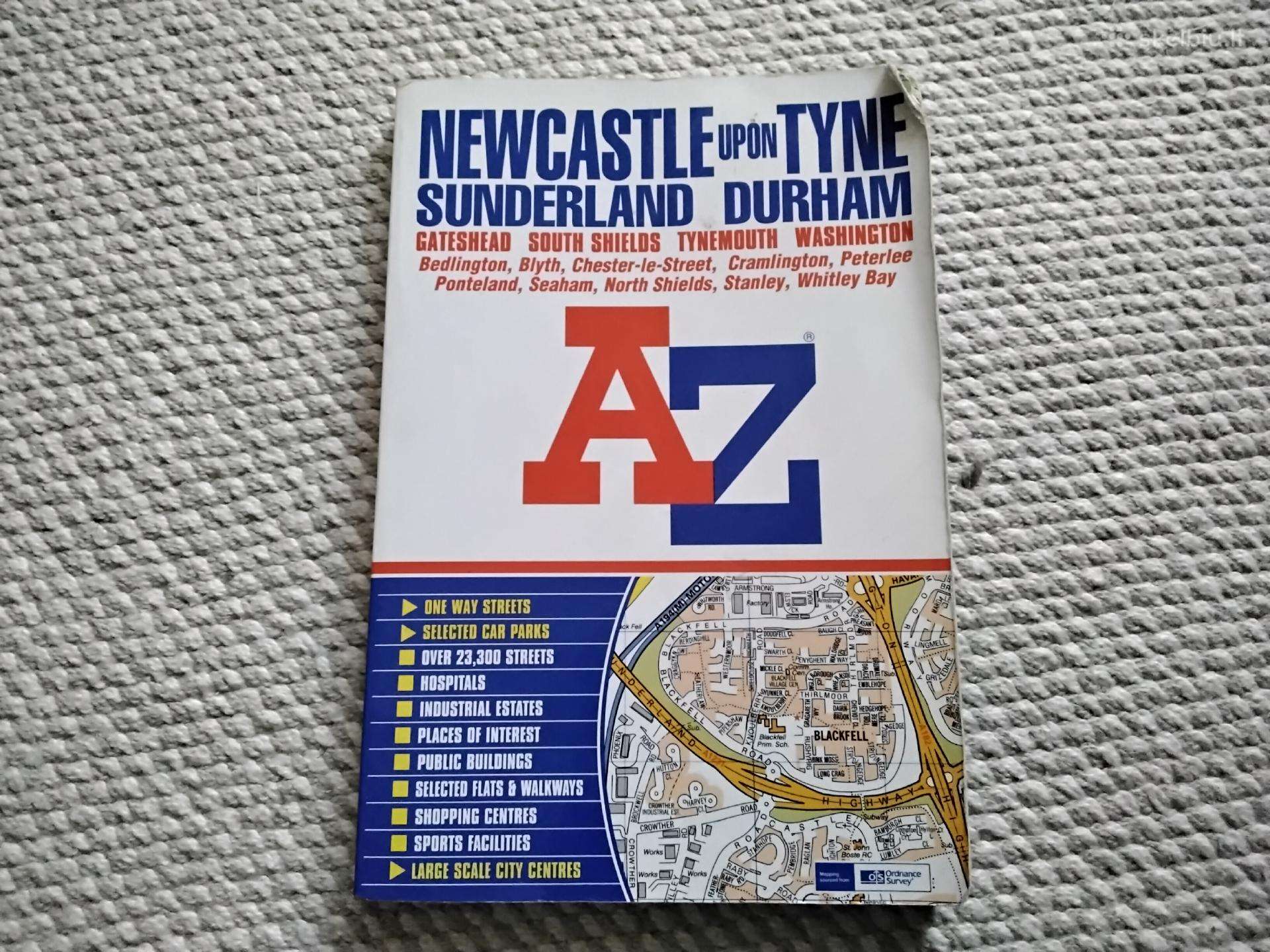
Newcastle upon Tyne Street Atlas
0
8 €
Klaipėda, kiti miestai
Būklė:
Naudota
parduodu, siunčiu
Kelionių žemėlapis
Geographers A-Z Map Company
This paperback street atlas of Newcastle-upon-Tyne, Sunderland, Durham, Gateshead, South Shields, Tynemouth and Washington contains 162 pages of coloured mapping that extends to include:
Bedlington, Blyth, Seaton Sluice, Whitley Bay, Whitburn, Roker, Hedon, Ryhope, Seaham, Easington Lane, Sherburn, High Shincliffe, Brandon, Bearpark, Kimblesworth, Chester-le-Street (part), Pelton Fell, Stanley, Annfield Plain, Dipton, Highfield, Ryton, Throckley, Heddon-on-the-Wall, Darras Hall, Ponteland, Dinnington and Hartford Bridge.
There are large scale city centre plans of Newcastle-upon-Tyne, Sunderland and Durham.
Also included are separate coverages each of Peterlee, Easington and Horden.
Postcode districts and one-way streets are featured on the mapping.
The index section of the atlas lists streets, selected flats, walkways and places of interest, place and area names, National Rail and Metro station names. There is a separate list of hospitals and hospices covered by this atlas.
Featured on the back cover is a Newcastle-upon-Tyne Metro and Rail Connections Map.

Turite dar vieną pasiūlymą?
Įkelti panašų skelbimą
Apie skelbimą
Skelbimo ID 75742258
Atnaujintas prieš 1 d.
Skaitytas 4
Įsimintas 0
REKLAMA
Kategorija:
Nepamirškite paminėti,
kad skelbimą radote Skelbiu.lt
kad skelbimą radote Skelbiu.lt
Komentarai
Skaityti komentarus (0)